Saint-Louis
31.92° - 37.17°
weather

Saint-Louis Airport (XLS)

Saint Louis .

See situation map

Airport Name :
Saint-Louis Airport
Iata Code:
XLS
Icao Code :
GOSS
Time Zone:
Latitude :
16.050800323486328
Longitude:
-16.463199615478516
Address :
Saint-Louis, Senegal
City :
Saint Louis
Country:
Senegal
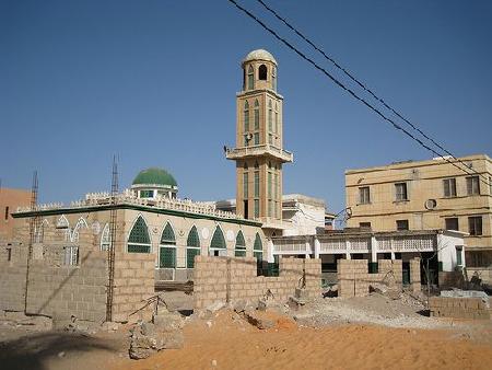
Saint-Louis Airport (XLS) Senegal , near the city of Saint Louis Saint-Louis, Senegal . The airport has the iata code of XLS It has the icao code of GOSS . The coordinates of the airport are 16.050800323486328 Latitude and -16.463199615478516 Longitude.

HOTELS NEAR SAINT-LOUIS AIRPORT

More Hotels Near Saint-Louis Airport


SEARCH THE INTERNET FOR MORE INFORMATION ABOUT SAINT-LOUIS AIRPORT

Search Flicker for Photos of Saint-Louis Airport
If you need to see more photos sobre Saint-Louis Airport In Flicker. Use this link to sarch for the best photos of Saint-Louis Airport
Videos about Saint-Louis Airport
Watch videos about Saint-Louis Airport in Youtube. Search now the best videos with just a click
Map of Saint-Louis Airport
Walk Saint-Louis Airport Places, streets, squares, roads with many information , services and much more
News of Saint-Louis Airport
Search Bing for more news and information about Saint-Louis Airport Just click on the icon and you can see al the results
Search Google for te best photos of Saint-Louis Airport
If you need to see more photos sobre Saint-Louis Airport in Google. Use this link to sarch for the best photos of Saint-Louis Airport
Saint-Louis Airport in wikipedia
Search information about Saint-Louis Airport in all fields: history, geography, politics, population, habits fauna and flora
Links about
Links about Saint-Louis Airport
Search all information available about. Just click on the icon and you can see al the results.
Links about
More about Saint-Louis Airport
More information about Saint-Louis Airport in Yahoo. Just click on the icon and you can see al the results.

Receive our newsletter with the best offers!

We are now looking for the best deals Saint-Louis Airport